
New Public Sites – Bushwick
October 7th – the future
New Public Sites – Bushwick, is a collection of four site-specific installations located in appropriated “public” spaces in Bushwick. The sites differ from traditional public spaces in that they are privately owned and have fallen into various forms of “disuse”. The installations consist primarily of subtle incursions of surveyors tape. Gestures of bright pink lines suggest possible paths or points of focus. Participants are invited to investigate each site with caution and curiosity. Explore at your own risk.
New Public Sites – Bushwick google map
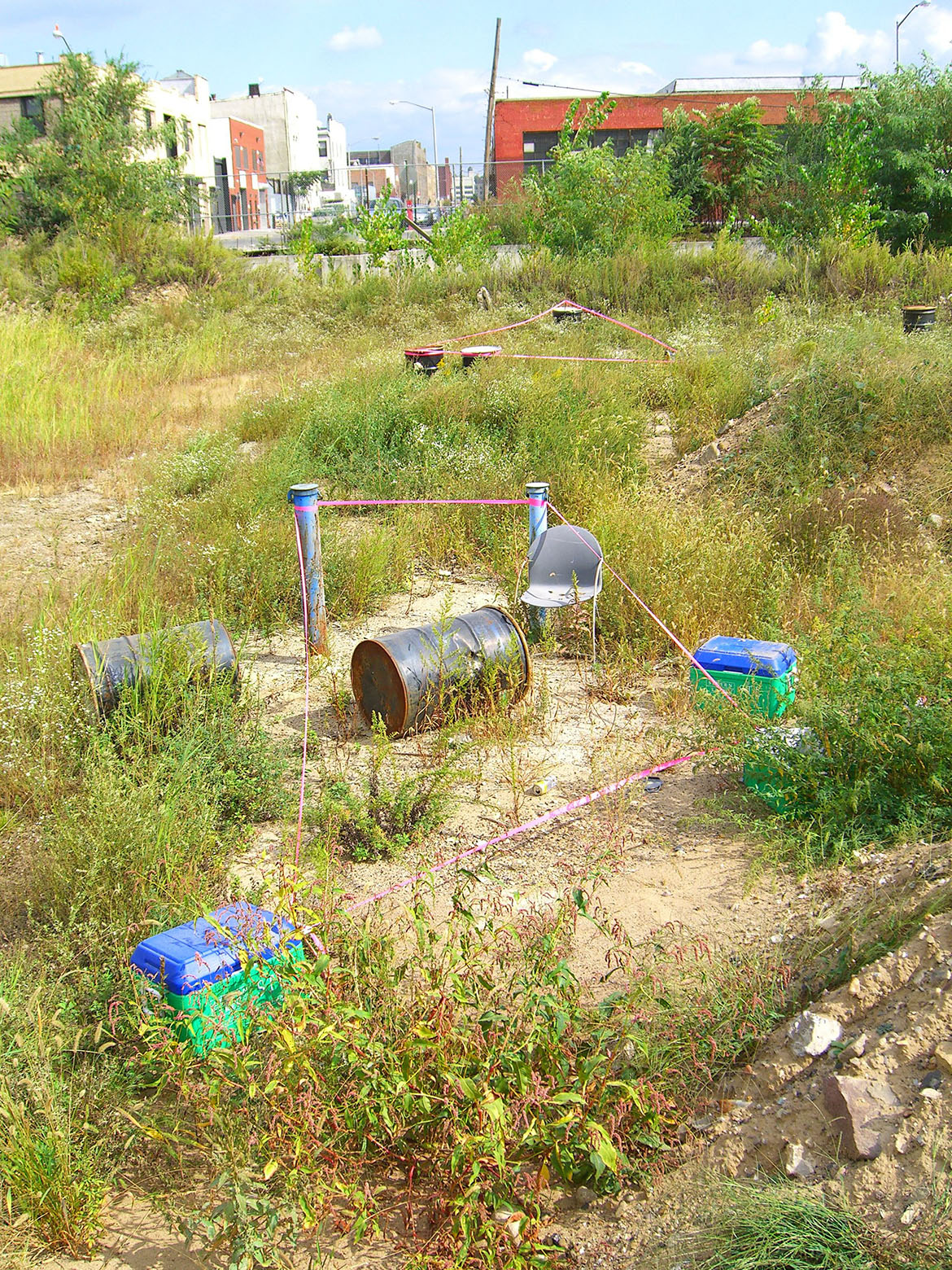
DISTRIBUTION PIT
Between Mckibben St., Bogart St., and Boerum St..
Entrance on Boerum, next to concrete plant.
“Rooms” marked in central field.
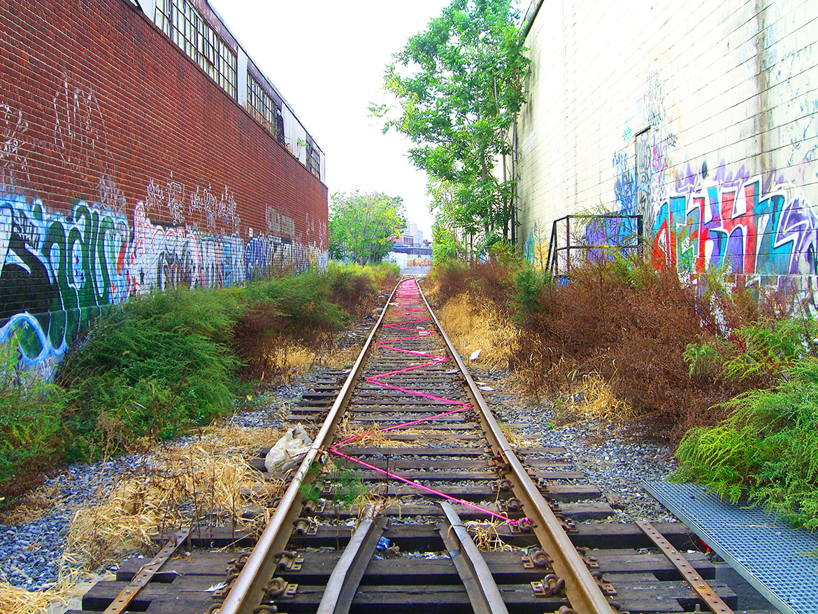
NEW TOWN XING
Rail road tracks between Morgan Ave. and New Town Creek.
Entrance on Morgan Ave., between Johnson Ave. and Meserole St., heading east.
Path suggested along tracks.
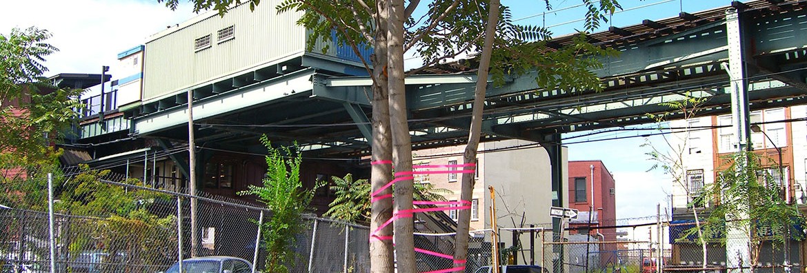
CENTRAL KNOT
Between Myrtle Ave. and Dekalb Ave., South of Central Ave. M station.
Entrances on Myrtle Ave. and Dekalb Ave.
Trees tied together as pivoting point.
CONDO DRIVE THROUGH
358 Grove St. parking lot, between Irving Ave. and Wyckoff Ave.
Elliptical track suggested.