Druid Hill Complete Streets

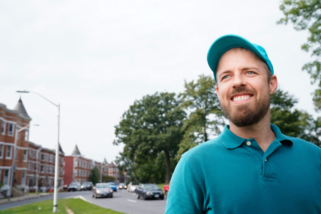
Graham Coreil-Allen headshot

Graham Coreil-Allen headshot

I’m honored and humbled to announce that I have been awarded a 2018 Open Society Institute (OSI) Baltimore Community Fellowship providing me with eighteen months of funding and organizing support as I collaborate with residents on reconnecting our West Baltimore neighborhoods with Druid Hill Park. Through the Druid Hill Complete Streets project I will be working with my neighbors to ensure that a forthcoming Baltimore City Department of Transportation (DOT) planning effort is as reflective of community voices as possible as we seek to convert the dangerous barrier highways around Druid Hill Park into complete streets safe and accessible for all – especially the approximately 50% of area residents who do not drive. Complete Streets are streets designed and operated to be safe and accessible for all, including pedestrians, transit users, wheelchair riders, and people who rely on bicycles. During the fellowship I will be working with local youth to create traffic calming public art to slow down cars and improve pedestrian safety. Potential ideas include mural-filled crosswalks, artistic planters protecting pedestrians, and creative signs reminding motorists where pedestrians have the right-of-way.
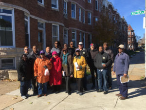
Auchentoroly Terrace walking tour
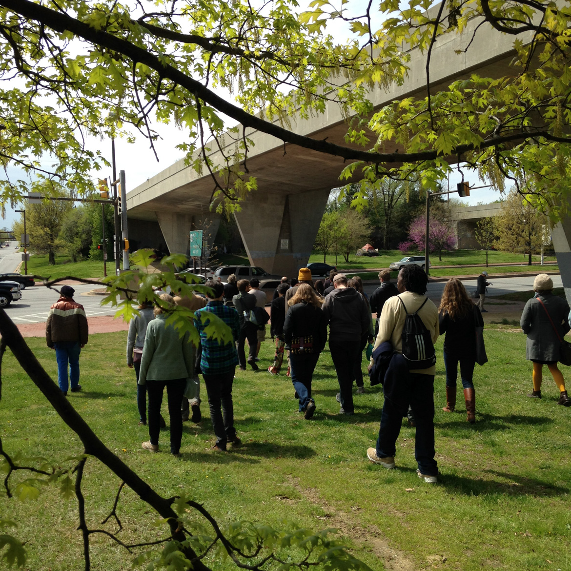
Auchentoroly Terrace community advocacy walk with city agencies, 2017.

West Baltimore’s historic work class neighborhoods of color have systematically been denied safe access to Druid Hill Park due to dangerous six-to-nine-lane-wide highways constructed over community opposition between the 1940s and the 1960s. Click here to read my story about the history behind the highways cutting off the neighborhoods of Mondawmin, Penn North, and Reservoir Hill from Druid Hill Park. The formerly two-lane, park-front streets of Auchentoroly Terrace and Druid Park Lake Drive were widened into high-speed highways primarily serving suburban commuters at the expense of park access for local residents.

Structurally racist urban planning decisions to build highways around Druid Hill Park make it difficult for the residents to enjoy the park’s public health benefits, including exercise, healthy food, and clean air. The Baltimore City Health Department’s 2017 Neighborhood Health Profiles show that the majority working class, African American communities around the park have some of the city’s highest mortality rates of cardiovascular disease and cancer. Click here for the Penn North / Reservoir Hill and Greater Mondawmin health reports. Census data also shows that approximately half of residents in the immediate area code of 21217 do not drive. As pedestrians, transit users, wheelchair riders, and people who rely on bicycles, our residents deserve priority access to the park.
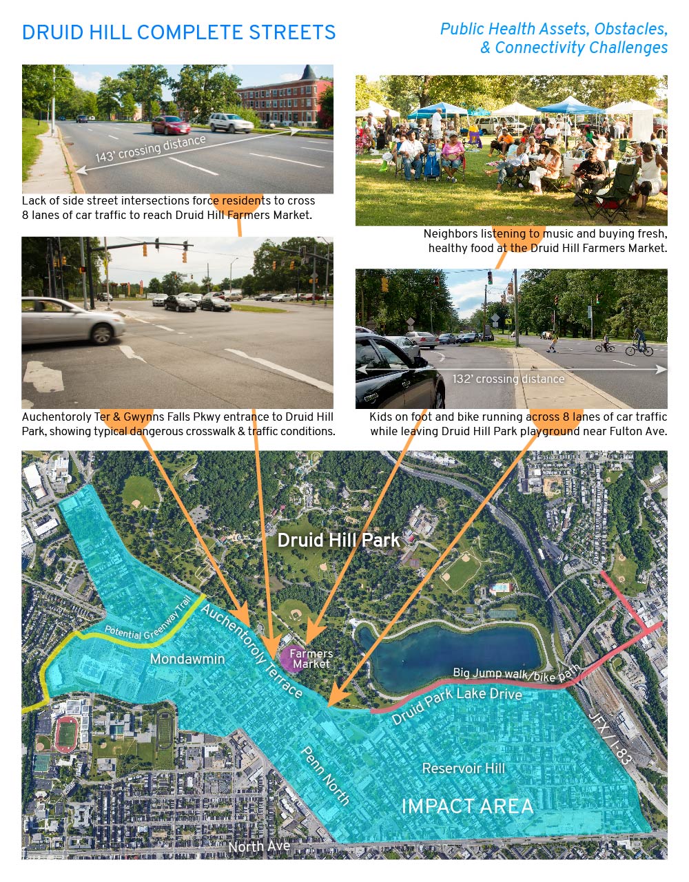
Druid Hill Complete Streets map and challenges

Since moving to Auchentoroly Terrace in 2013 I’ve listened to my neighbors talk about and experienced firsthand the need for more crosswalks, narrower roadways, less vehicular traffic, and slower speeds. With no playground in our neighborhood, I all too often witness small children on foot and bike darting across eight lanes of high speed traffic to reach the safe green spaces and play areas of Druid Hill Park. I also see how my retired, car-free neighbors are unable to reach the Druid Hill Farmers Market due to a lack of safe, convenient crosswalks. Most at risk are wheelchair riders who along sections of the park are blocked by non-ADA pathways.

In response to community transportation needs, 7th District Councilman Leon F. Pinkett III convened the Druid Hill Park Stakeholders group in early 2017. The group includes representatives from Mondawmin, Auchentoroly Terrace, and Reservoir Hill; Baltimore City agencies including the Departments of Transportation, Public Works, and Recreation and Parks; as well as non-profits including Bikemore, Rails-to-Trails Conservancy, and Parks & People. We are also reaching out to more local leaders and organizations to bring into the planning and advocacy effort. Thanks to the councilman’s leadership, in February 2018 Baltimore City DOT agreed to conduct a major transportation study to address our community’s concerns. This study will build on two ongoing local initiatives, the Big Jump Baltimore and the Baltimore Greenway Trail Network northwest trail planning effort. As an OSI Community Fellow, I will work full-time with my neighbors to shape this forthcoming transportation plan for rebuilding the dangerous barrier-highways of Druid Park Lake Drive and Auchentoroly Terrace as accessible boulevards that safely connect our most vulnerable residents with Druid Hill Park.

The Druid Hill Complete Streets initiative will support community education, creative urban planning, and traffic calming through public art. We will organize community-led walking tours in which youth, seniors, wheelchair riders, elected officials, and city planners learn from one another while seeking common ground for enacting equitable park access. We will also creatively engage residents in the ongoing DOT planning process through a new website, social media campaign, and activities at places like the Druid Hill Farmers Market to get input from residents who may not be able to make traditional public meetings. Lastly, we will collaborate with youth to create traffic calming public art around Druid Hill Park based on community design workshops in which residents will identify sites for enhancing pedestrian safety and reconnecting with the park. These low-cost interventions will have an immediate positive impact on park connectivity and public health while enabling residents and the public at large to envision the possibilities for complete streets.

The schedule of events and public art production will be determined by the yet-to-be-confirmed DOT study timeline. The Druid Hill Complete Streets project will bring together diverse neighborhood groups to shape the upcoming improvements around the park, empowering communities to claim our public spaces through creative city planning and public art interventions.


Why I support the Baltimore Greenway Trails Network

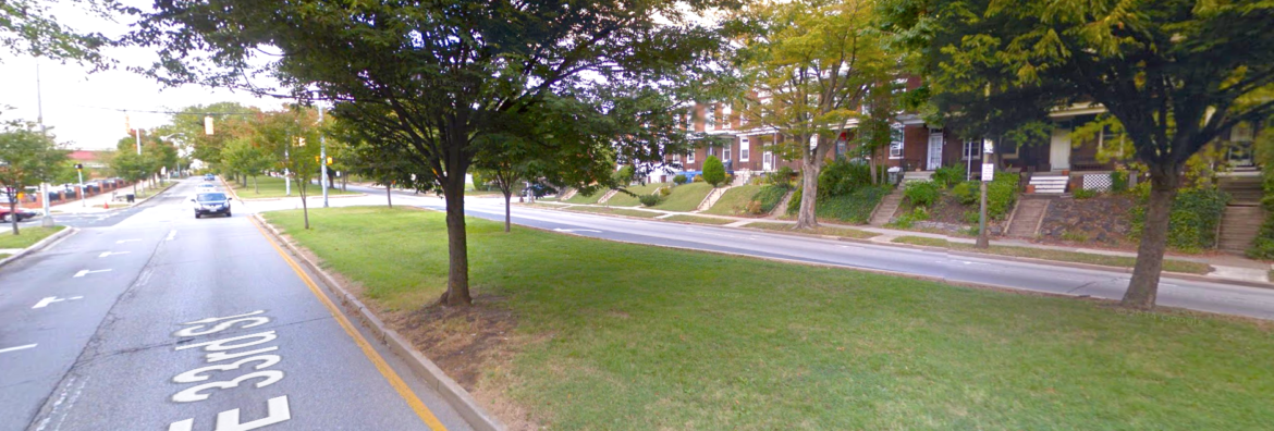
33rd street median

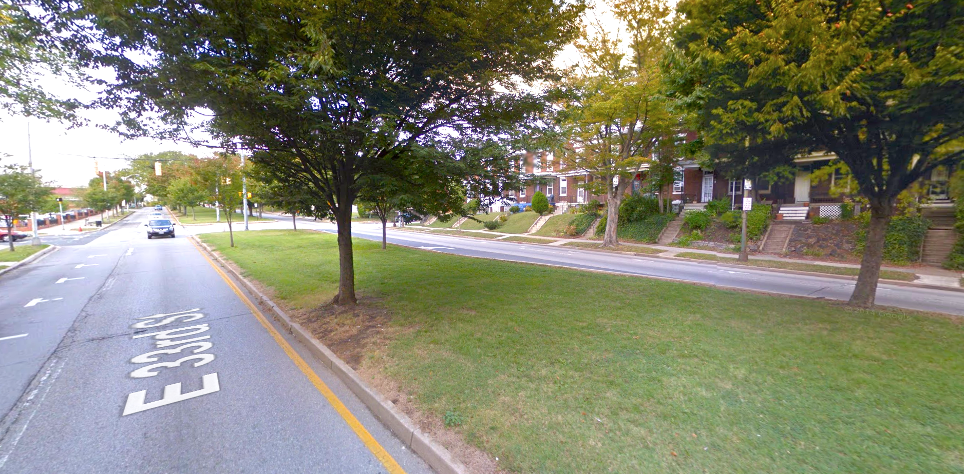
33rd street median

The Baltimore Greenway Trail Network is an exciting vision for connecting our amazing urban trails and park system into a 35-mile loop around the city. I support this vision and have been working with Rails-to-Trails Conservancy and Bikemore to communicate the many exciting traffic calming and public health benefits of the proposal. With their support, last fall I was able to collaborate with neighbors on creating a demonstration public art crosswalk at Gwynns Falls Parkway and Auchentoroly Terrace that called attention to the need for such safety and connectivity improvements.

Rails-to-Trails and the city have begun a long process of engagement to design the Baltimore Greenway Trails Network. Last night I attended the Baltimore Greenway Trails Coalition public meeting regarding their proposal for a multi use path down the middle of 33rd Street. Below are the concerns I heard, plus some facts.

  • Concern: No one tried to inform neighbors about the Greenway Trail Network plan. Fact: Rails-to-Trails has been reaching out to community associations for at least year now. I first heard about the plan in February 2016. Several meetings have been held for both 33rd Street and Gwynns Falls Parkway communities, including last night’s gathering. This is the beginning of the planning process, not the end. Nothing is approved or fully designed. Lets keep on participating!
  • Concern: A median trail will destroy the historic Olmsted plan for boulevards connecting Baltimore’s parks. Fact: over 100 years ago, the Olmsteds’ designed numerous multi-use, tree-lined paths for cities across the country. The Baltimore plan for boulevards connecting parks was never fully realized and quickly compromised by increased car traffic choking off the median green spaces from people who would like to use them. A median trail will in fact help properly realize the Olmsteds’ historic vision for Baltimore.
  • Concern: A median trail will kill trees. Fact: there are numerous examples of historic and modern trails that do not kill trees. The city’s arborist must approve any such design, and the proposal is for a pervious trail surface that will allow the trees to continue to thrive.
  • Concern: The trail will take away green space used by kids for playing. Fact: I lived on 33rd Street for five years with a bedroom overlooking the median. I never saw kids playing because the median is locked off from pedestrians by curbs and dangerous traffic. A median trail will make the space safe and accessible for kids learning to ride bikes, people traveling in wheelchairs, walkers, runners, and cyclists.
  • Concern: The trail will cause an increase in car traffic. Fact: the trail’s many bumpouts and crosswalks will help slow the dangerous traffic on 33rd while giving people more options for commuting without needing a car, thereby reducing traffic.

From 2008-2013 I lived on 33rd Street and wished we could add a path down the middle and calm traffic. In 2013 I moved to Auchentoroly Terrace and now hold similar pedestrian safety and connectivity hopes for our community. Many of my neighbors and I are excited to help support the median trail proposal for the Olmsted-designed Gwynns Falls Parkway. A multi use, center-running trail will help calm traffic and enable our many differently abled neighbors to connect with Druid Hill and Leakin Parks. I’m excited to share this vision with my friends and former neighbors along 33rd Street

— Graham (a guy who likes to hang out on median strips)

Read about the trail network from Rails-to-Trails Conservancy: https://www.railstotrails.org/our…/trail-projects/baltimore/

More facts from BikeMore: https://www.bikemore.net/news/fact-check-the-greenways-trail-network-plan-is-awesome-support-it

Inner Harbor Baltimore Drift

Inner Harbor Baltimore Drift

Inner Harbor Baltimore Drift

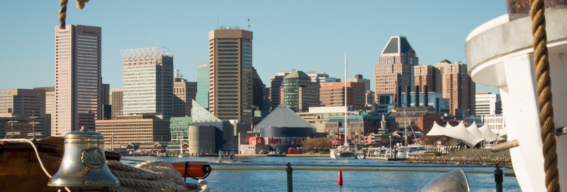
After years of research, dozens of interviews, and months of planning, I’m excited to announce my latest New Public Sites walking tour: Inner Harbor Baltimore Drift. The general public is invited to explore invisible public spaces hidden in plain sight on this alternative walking tour of Baltimore’s most recognizable public space.

Baltimore’s Inner Harbor is a celebrated success of waterfront redevelopment, but its spectacular looks disguise a contested past and challenging present. During the Inner Harbor Baltimore Drift tour, we uncover the real stories of how powerful people, visionary plans, and community movements are still transforming the former industrial wharf into a premiere public space for all. Through poetic interpretation and participatory activities, I show how secret loading docks, coded brick patterns, environmental engineering, and forgotten monuments all reveal Baltimore’s hidden truths.

More info at newpublicsites.org. Tickets for the walking tour are $15 each. Click here to purchase tickets!

New Public Docu of 2015

As the future of 2016 grows from burgeoning horizon, I wanted share a few updates on recent current projects. Last year proved exceptional for my public art mission to interpret, critique, activate and improve the public space of our everyday lives.

SiteLines Current Install - 01

SiteLines Exhibit

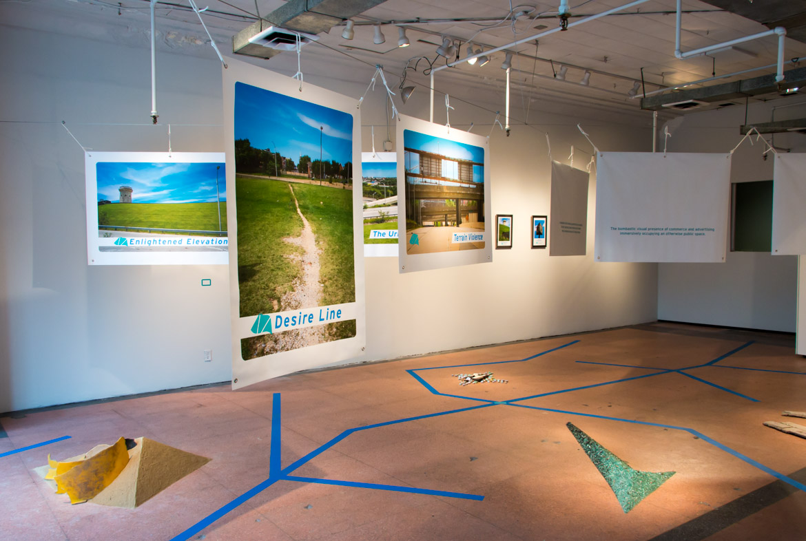
I had the great privilege of staging my first true solo show with ICA Baltimore at Current Space last spring. With the support of a Rubys Grant, my show SiteLines was the culmination of a series of radical walking tours I organized in 2014 seeking to understand overlooked public spaces in and around some of Baltimore’s highway foleys and pedestrian malls. It so happened that the show opened just as the Baltimore Uprising began to take shape in the streets.

150425SiteLine-CHN

SiteLines Tours

The day of the first major Freddie Gray march, I led 44 participants on my Crossing the Highway to Nowhere tour. As I talked about West Side struggles against top-down planning, a helicopter hovering over the nearby protest split off and followed us as we gathered at the edge of Route 40. After crossing the highway our group began to head back to the gallery, only to run directly into the Freddie Gray march. To join was urgently appropo. On that day a modest crowd of Radical Pedestrians merged with a much larger force of walking movement in our city.

Here is what a few others had to say: ArtFCity, Bret McCabeGBCALandscape Architecture Magazine, and BmoreArt.

151017 NPS-Rockville-walking-tour - 15

The Ragged Edge of Rockville

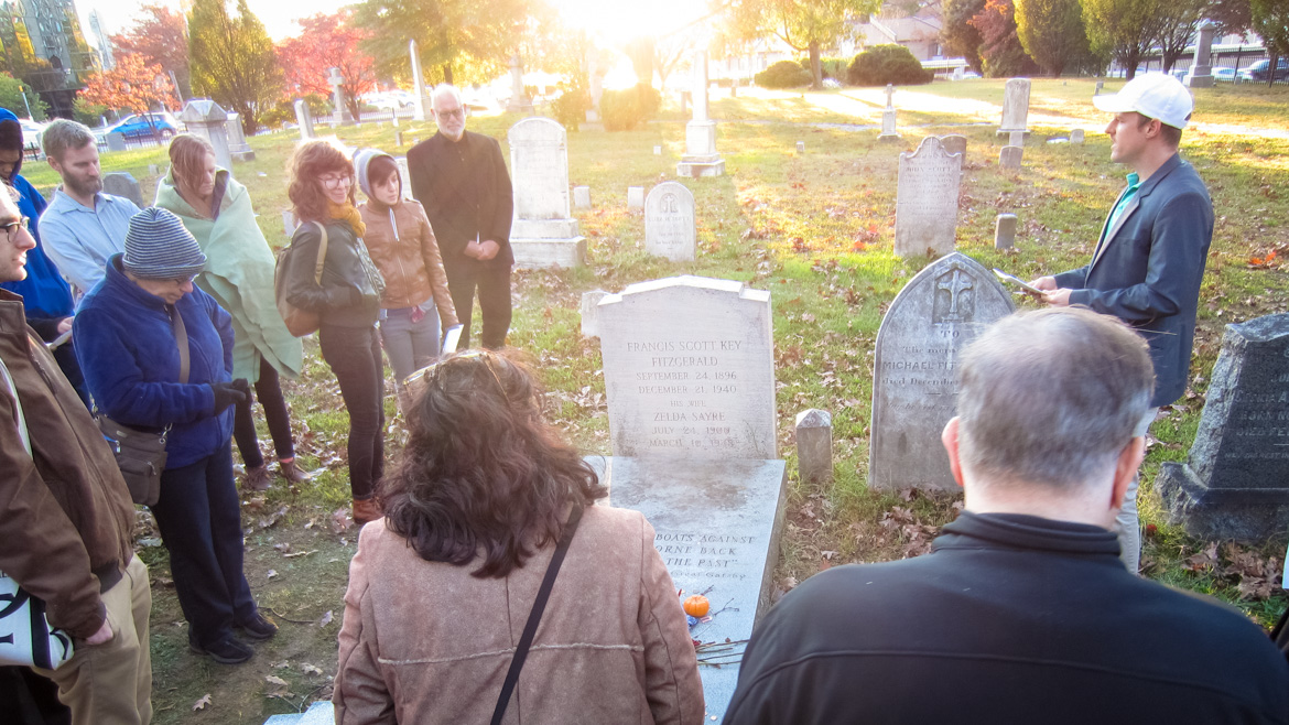
After SiteLines, I  was invited to develop a New Public Sites project exploring the invisible sites, contradictory features and historical spirits embedded in downtown Rockville for Come Back to Rockville, a two person show with Naoko Wowsugi at VisArts curated by Laura Roulet. Naming my project, “The Ragged Edge of Rockville”, I created a gallery installation, shot new videos and staged a series of tours in and around VisArts, the Rockville Library, the Beall Dawson House and a special gravesite. Along the way we learned that Rockville twice entirely razed its downtown. What’s since emerged is an uncanny image of pedestrian urbanism embedded with the beginnings of civic spaces while hiding parking garages for car-bound shoppers. Thankfully the various redevelopment schemes spared the town’s historic Catholic cemetery – final resting place for literary icons F. Scott and Zelda Fitzgerald. Meanwhile, Mark Jenkins at the Washington Post took a stroll through the gallery and wrote this review.

nps-mw-map-banner-preview

New Public Sites – McDaniel / Westminster

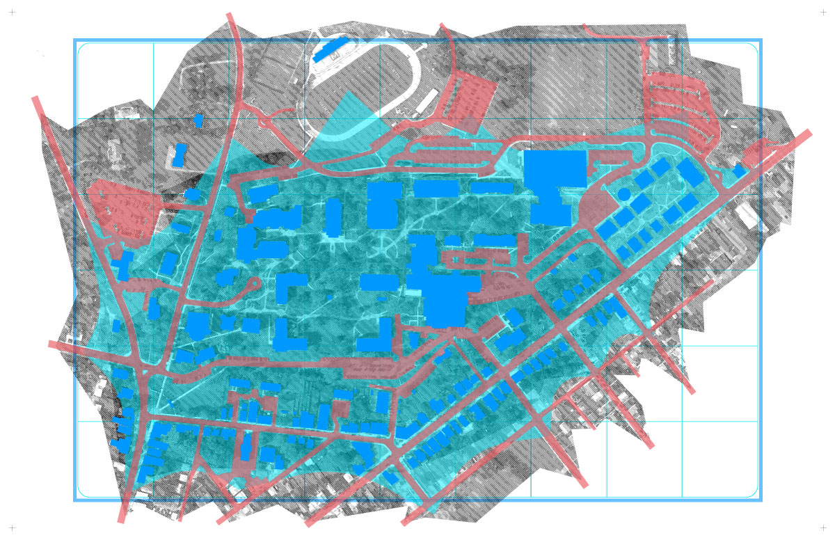
Immediately following my Rockville drift, I began work on another New Public Sites tour and installation, this time in collaboration with McDaniel College students and residents of Union Street in Westminster, Maryland. I was honored to have “New Public Sites – McDaniel / Westminster” commissioned by curator Izabel Galliera for her group show Alternative Cartographies. Through a new map, bulletin boards and Shards of Site, we investigated the overlooked yet meaningful public spaces between an idyllic hilltop and historic neighboring streets. New Public Sites are not just in big cities, but also among rural towns and suburbs alike. Rebecca Juliette from BmoreArt still made it up and posted this on the group show.

Infinite Thanks for all the support. Let’s keep on projecting thoughts from radical walks through 2016 and beyond. Check back for updates on my forthcoming tour shattering Baltimore’s Inner Harbor Spectacle, and other delightful spring walks.

Cheers,

Graham signature teal


PS: Many thanks also to Baltimore Clayworks and School 33 for the opportunities to lead wanders through Mount Washington and of Baltimore City’s amazing murals.

SiteLines Success

140927SiteLines-PPL-Trophy-Success

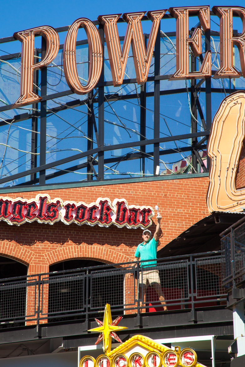
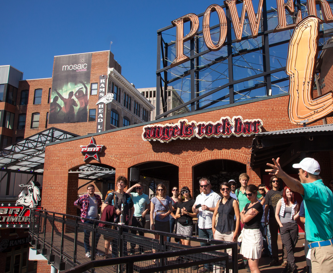
Thank you all for making September’s SiteLines walking tours an empowering success of public space activation! Among four tours will nearly 100 participants, we collectively explored the thrilling Urban Sublime of Baltimore’s ever shifting invisible public spaces. We Crossed the Highway to Nowhere, climbed to an impressive, if damp, Reservoir Chill, mindfully Wandered Old Town Mall and indeed made Power Plant truly ALIVE! Stay tuned for an announcement in early 2015 about the forthcoming SiteLines web series culminating in a solo show on the west side of downtown.

140927SiteLines-PPL-Urban-Sublime

New Public Sites – T/MBX

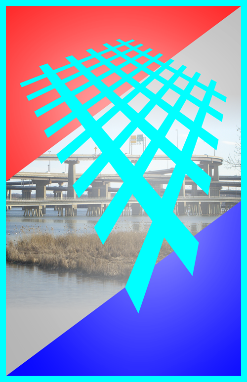
New Public Sites Typology Middle Branch Crossing

New Public Sites Typology Middle Branch Crossing

EXPLORE A THRILLING URBAN SUBLIME

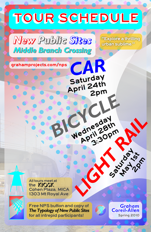
Please join me for my MFA thesis show and events, New Public Sites – T/MBX,

April 23rd – May 2nd.
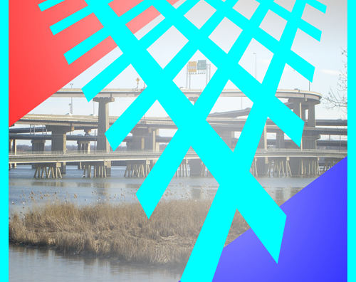
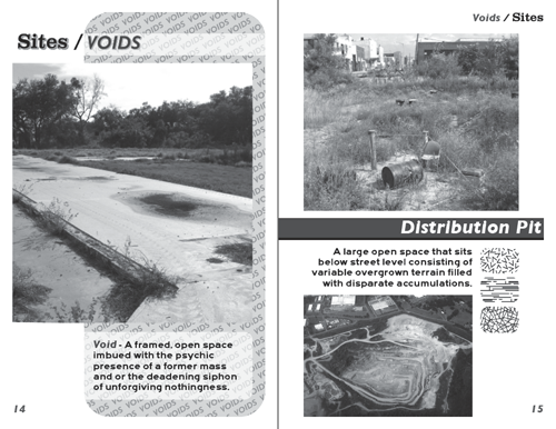
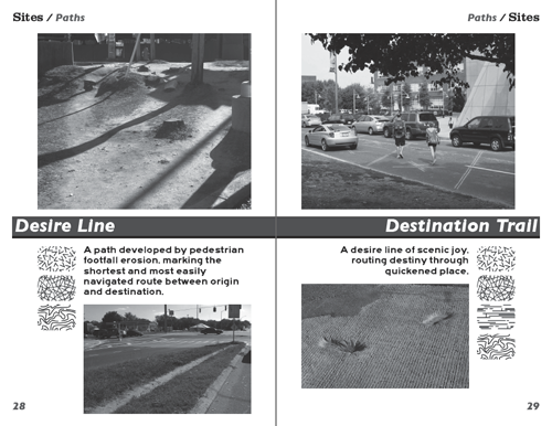
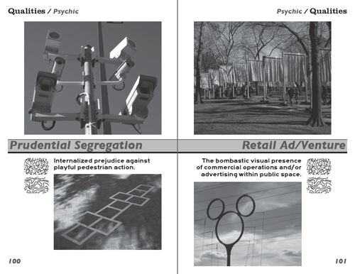
The Typology of New Public Sites (NPS-T) and New Public Sites – Middle Branch Crossing (NPS-MBX) are two interrelated investigations into the invisible sites and overlooked features of our everyday environment. Serving as both field guide and manifesto, NPS-T organizes these liminal public spaces and pedestrian experiences into a system of sites, components and qualities, indexed and described through architectural and poetic terms and definitions. Putting this typological language into action, NPS-MBX explores Baltimore’s spectacular southern gateway – the Middle Branch, a majestic amalgam of voids, lost spaces, paths, pauses and vistas.Opening reception Friday, April 23rd, 5-7pm
Maryland Institute College of Art – Fox Building
1303 Mount Royal Ave, Baltimore, MD 21217
Gallery talk Wednesday, April 28, 1-3pm.

Participants are invited to explore the Middle Branch Crossing through three modes of transit: car, bicycle and light rail. Sweeping back and forth across the I-95/I-395 interchange, the car tour will provide breathtaking zoomscapes of the water below and city beyond. At a slower pace, the bicycle tour will navigate sites of pause south of the stadium, before joining the Gwynns Falls Trail as it skirts the vistas of the Middle Branch’s western shore. Heading farther south, the light rail tour will glide over fluid dynamics and unseen fields before culminating in an excursion of radical pedestrianism.Free NPS-Button and copy of The Typology of New Public Sites for all intrepid participants!

Car – Sat/Apr.24, 2pm
Bicycle – Wed/Apr.28, 3:30pm
Light Rail – Sat/May.1, 2pm

New Public Sites Middle Branch Crossing tours

The Typology of New Public Sites in production

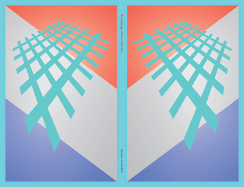
Typology of New Public Sites jacket preview

Typology of New Public Sites jacket preview

Finally, after many months of site analysis, spatial writing, poetic musing and endless layout work, my manifesto on Radical Pedestrianism/”field guide to invisible public space”, The Typology of New Public Sites, is finally off in production at Lulu. This was basically the last day I had to get the book uploaded to ensure that it would definitely arrive before my thesis show opens. From my introductory essay on the book:

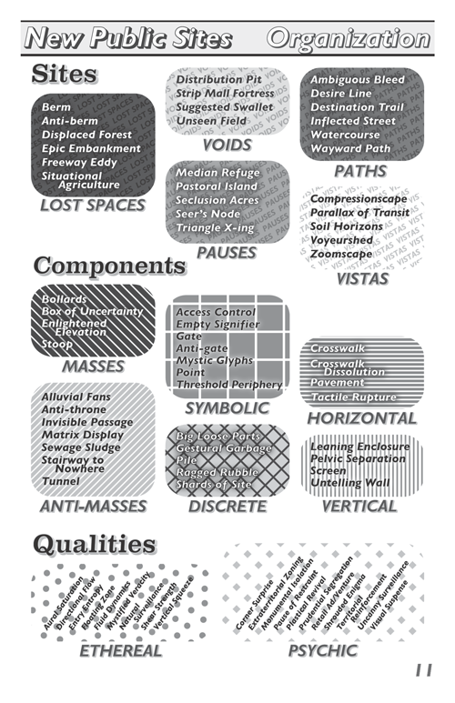
The Typology of New Public Sites consists of sites, components and qualities indexed and described through terms and definitions both invented and appropriated. The typology not only represents a system of classification, but also a linguistic intervention. Drawing from the fields of architecture and urban planning, the appropriated terms and definitions are repurposed with complete sincerity. In some instances the definitions for these lifted terms remain unchanged, while in others they are altered, recombined or entirely rewritten. Through invented and appropriated language, this reference book/manifesto challenges the authority of how public space is typically represented.

The book will be free to anyone who goes on one of my forthcoming tours. Stay tuned for more details and here are a few teaser pages to whet your appetite….

Typology of New Public Sites organization preview Typology of New Public Sites voids preview Typology of New Public Sites paths preview Typology of New Public Sites psychic preview